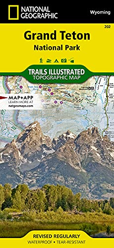



Quick Summary
The National Geographic Trails Illustrated Zion National Park Map is a waterproof trail map for exploring Utah. It is a folded map with folded dimensions of 4.25 x 9.25 in, and the stated scale varies by map.
Key Details
| Detail | Verified information and buyer relevance |
|---|---|
| Brand | National Geographic. Useful for identifying the exact map range. |
| Product type | Trails Illustrated map for Zion National Park. A useful format for outdoor route planning. |
| Waterproof | Yes. Helpful if you want a map intended for outdoor use in changing conditions. |
| Folded dimensions | 4.25 x 9.25 in. Check this against the space you want it to fit in when folded. |
| Scale | Varies by map. Compare this with the level of detail you need for route reading. |
What to Compare Before Buying
- Map area: This map covers Zion National Park. Make sure that is the area you want to navigate or plan for.
- Scale: The scale varies by map, so compare the level of detail with how closely you want to follow trails and terrain.
- Folded size: The folded dimensions are 4.25 x 9.25 in, which matters if you want to store it in a pocket, pack or map case.
- Waterproof finish: The waterproof format is useful for outdoor carrying, but the key point is that it is the map you want in the right format for your trip.
Before You Decide
Check that Zion National Park is the map area you need, then compare the folded size and the stated scale with your planned use. If you want a waterproof trail map for Utah, this format matches that purpose.